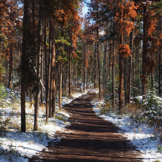
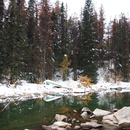
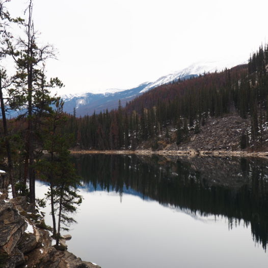
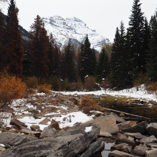
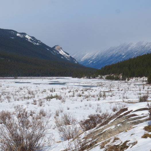
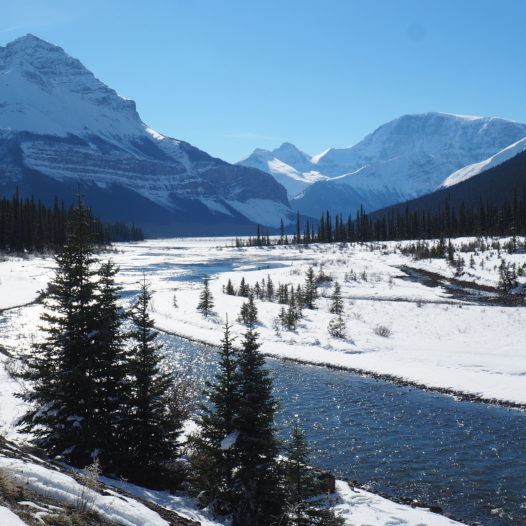
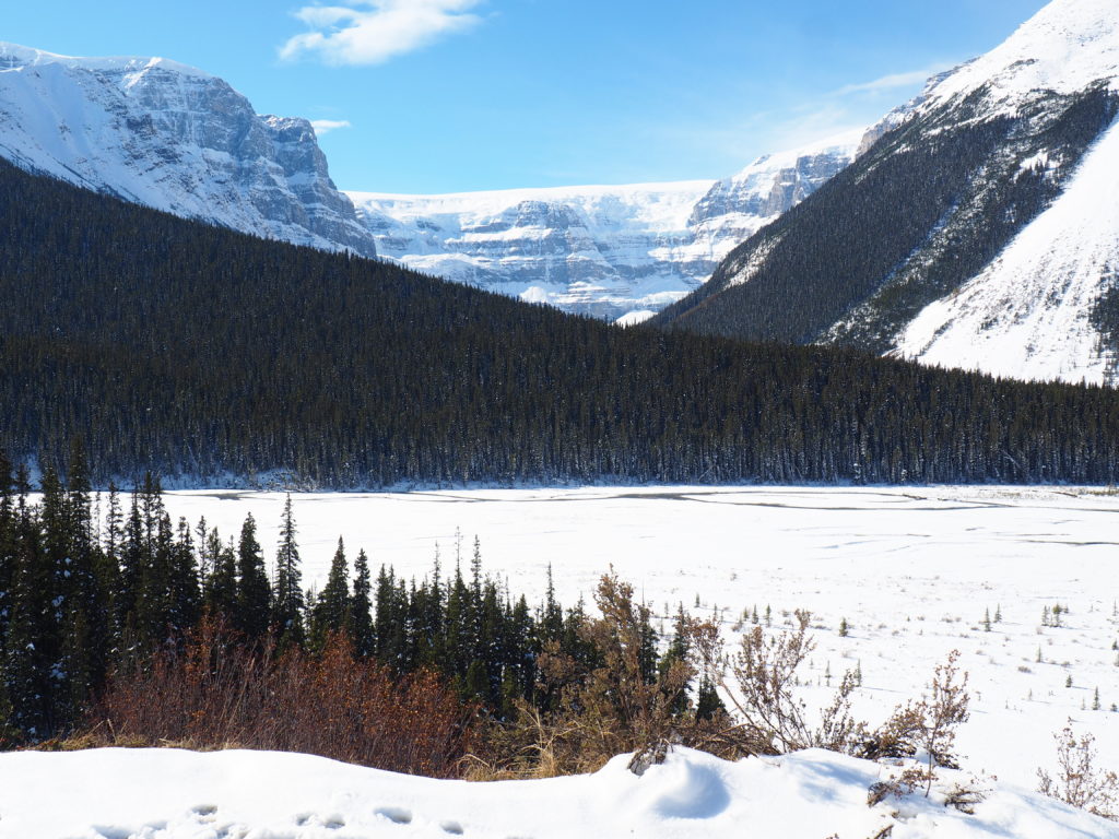
Winding 232 kilometers / 144 miles through the heart of the Canadian Rockies, the Icefields Parkway – between the big hubs of Jasper and Banff – is one of the most scenic drives out there for us humble visitors in majestic Canada. Along the road, miles of crystal water reflect the snowy summits and glaciers, waterfalls, broad sweeping views and epic peaks that are found all along this superb road. What an overwhelming trip this is.
Although you could drive the road in something like three hours, you should really take a full day to enjoy the Icefields at its best. Especially in winter – when the roads can be bit slippery – you might want to take it slow.
I drove the highway myself in October and the area was already immaculately covered in white. Usually, around this time of year, the Rockies are still experiencing an ‘indian summer’. Nevertheless, in the end I was so so happy that I didn’t miss out on the many snowy, drop-dead gorgeous views. You’ll see what I mean when you’ll scroll through the pictures below. That said, if you’re planning on driving as well around this time of year, make sure your car has a nice pack of winter tires, cause you never know in here.
I didn’t include any of the bigger hikes (which are impossible to hike once snow has arrived), but the rest of the stops all can be seen within a day.
So from north (Jasper) to south (Banff), here’s where to break for sure!
Valley of the Five Lakes – 10 km / 6.2 miles south of Jasper
A 4.5 km / 2.8 miles loop
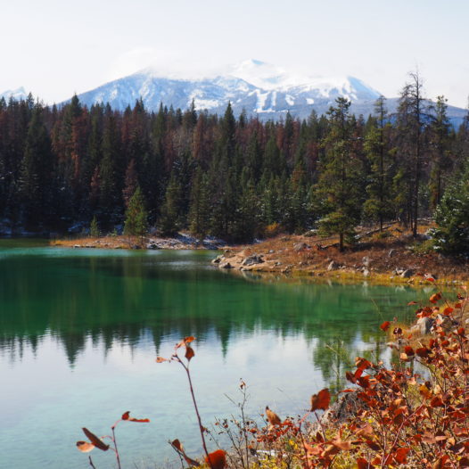
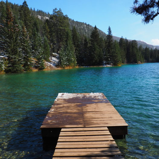
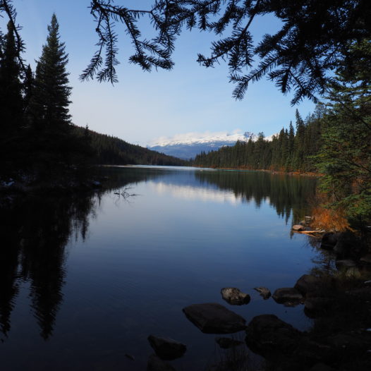
The first stop along the Icefields Parkway includes a 1,5 hour long hike with a staggering amount of lakes. I mean, five lakes within one hike really is a lot right?
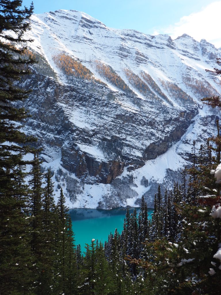
Every lake located in this valley is unique in terms of size and colour and although they are all pretty spectacular, I particularly fell in love with lake number four (picture #1) ↓. Speaking of backdrops and turquoise water… oioioi so pretty!
As this stop is really close to Jasper, you could also hike it another day, in case you think you won’t have enough time to include this hike in the Icefields itinerary!
Horseshoe Lake – 28 km / 17.4 miles south of Jasper
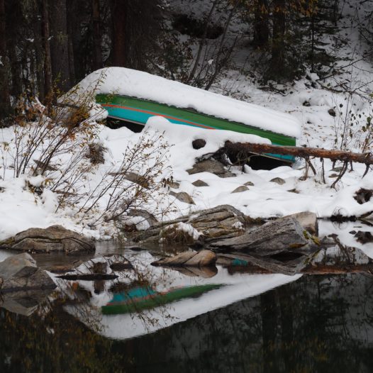
Just a little further south, you’ll find this very solemn lake right next to the highway. I loved the peaceful vibe in this place and therefore I’d say it’s worth to stop in here and make the 10-minute loop to the water.
Athabasca Falls – 30 km / 18.6 miles south of Jasper
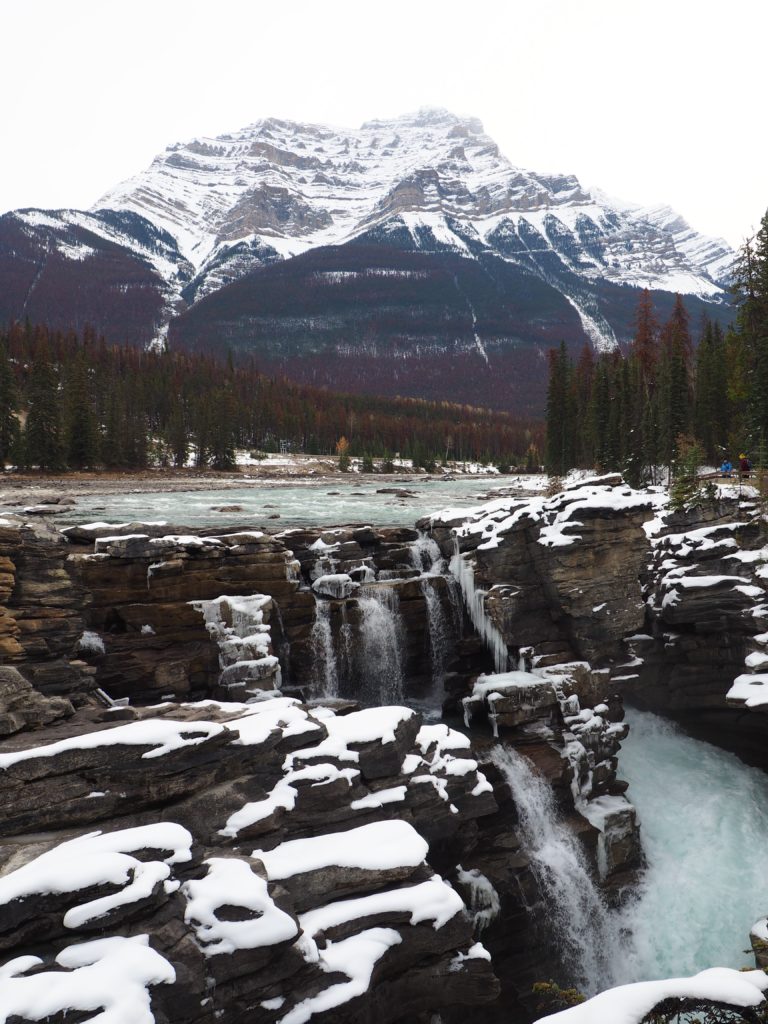
Even though it is said that this is one of the most powerful falls in the Canadian Rockies, I personally thought Athabasca wasn’t that overwhelming. I mean it’s beautiful, but perhaps I’d just read too much about it. I wasn’t too stunned about it anymore when I saw it. But eh… you should stop in here nonetheless. If only because – conveniently enough – the parking lot is almost next to the Athabasca Falls, which is great on cold winter days.
When I visited the area, the pathways were so slippery that I needed some cleats over there for sure. A true bambi on ice experience.
Upcoming just some nice views along the way after the Athabasca break. I ended up stopping every 5 km or so I think
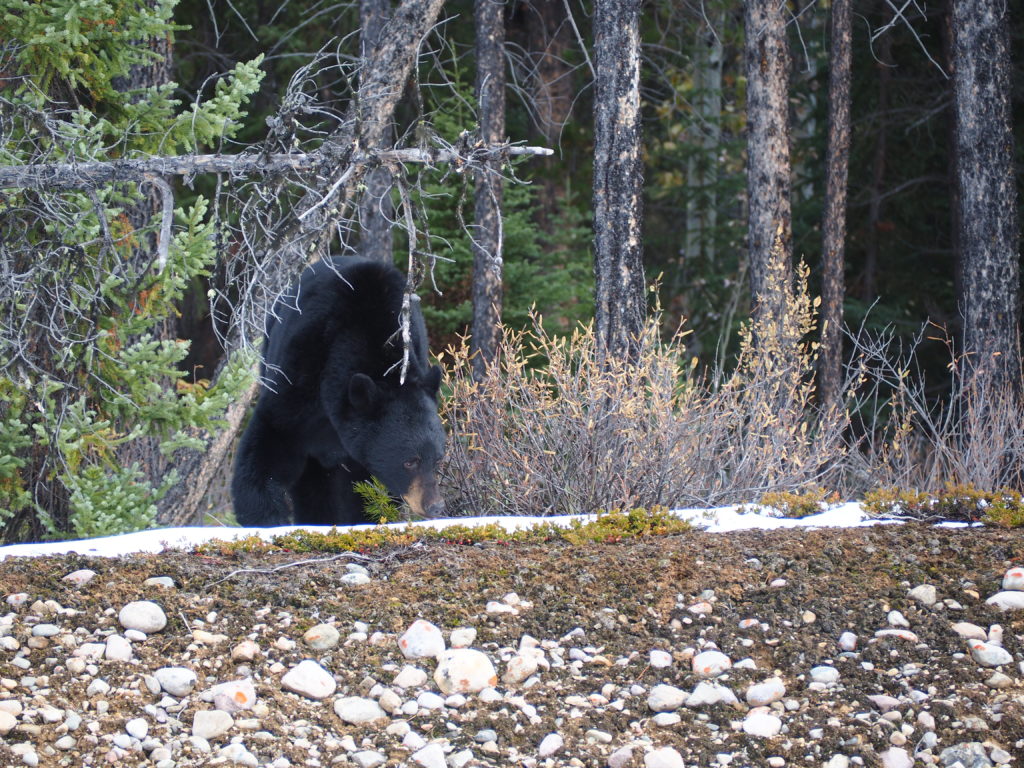
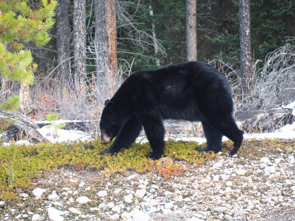
And yes, I saw a munching peek-a-bear in here too! Just right next to the road. He was looking for berries and luckily didn’t care too much about his spectators.
Sunwapta Falls – 55 km / 34 miles south of Jasper
Time for the next falls!
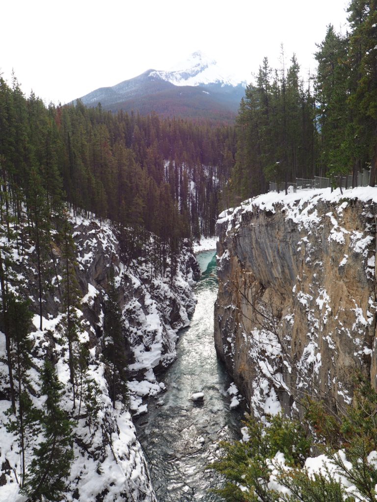
Again, conveniently enough, the parking lot is located close to the falls. From here, it’s just a few minutes to the bridge overlooking the falls and canyon (I forgot to picture the falls :), but here’s the canyon↓ ). Some powerful waters are flowing through that gorge!
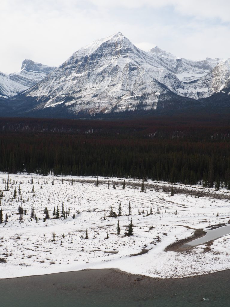
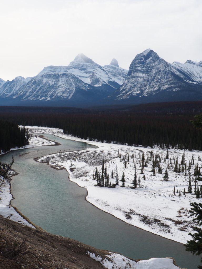
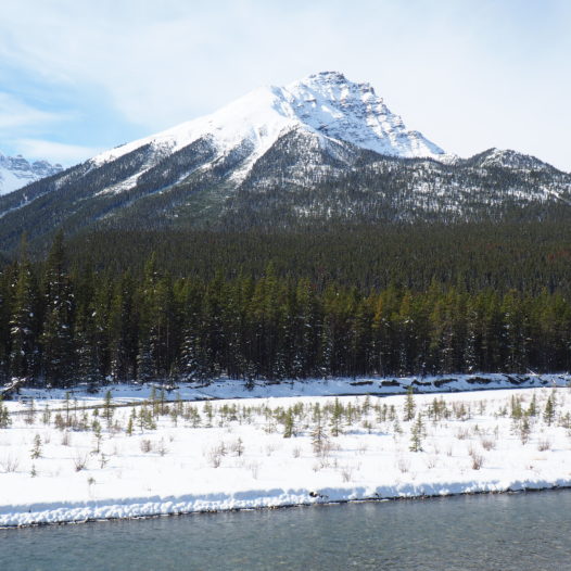
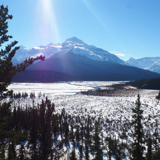
After Sunwapta Falls I made some more stops to picture the pristine views along the way. The views on the Athabasca River are great, so I’d say just make use of those pullouts whenever you feel the need.
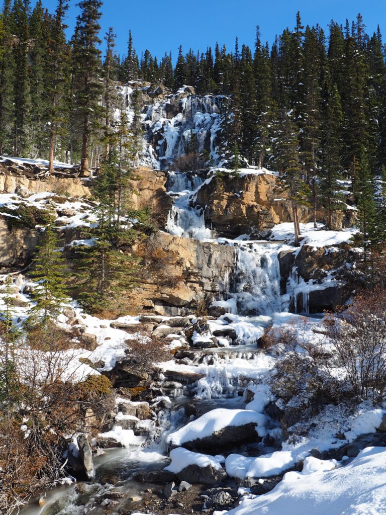
Tangle Falls – 96 km / 60 miles south of Jasper
This beautiful water curtain is just flowing right on the highway. I think it’s pretty spectacular that you can already spot it while driving, but the falls are worth a tiny break as well. Especially in spring these falls must be something to behold probably!
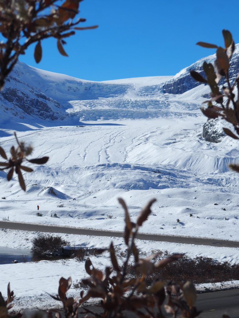
Columbia Icefield Center / Athabasca Glacier – 103 km / 64 miles south of Jasper
There are several ways to enjoy the most famous glacier of the Icefields Parkway.
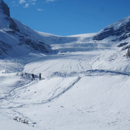
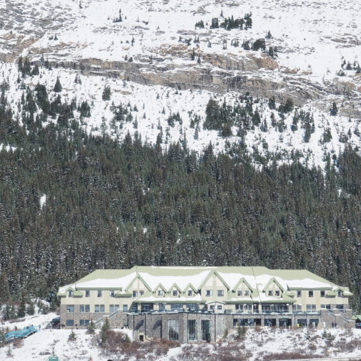
You could start with a warm chocolate at the Icefield Center, while soaking up the views from the deck. From the center you could reserve a tour, but if you like it low-key I’d say it’s better to drive all the way to the very base of the glacier (yes, there’s a little parking spot over there) and go for a small hike along the “Toe to Athabasca Glacier Trail” to grasp the magnitude of the ice field.
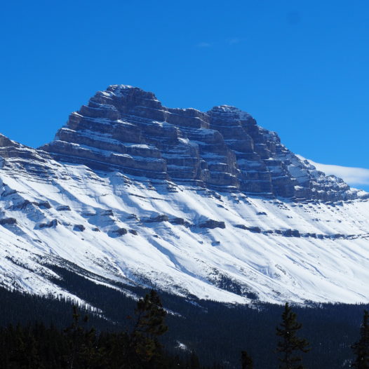
Some more snaps on the way from the Athabasca glacier to Waterfowl Lakes
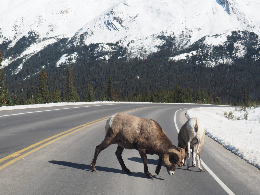
These bighorn sheep jumped right in front of me on the highway, giving me a subtle reminder never to speed when cruising around the rockies.
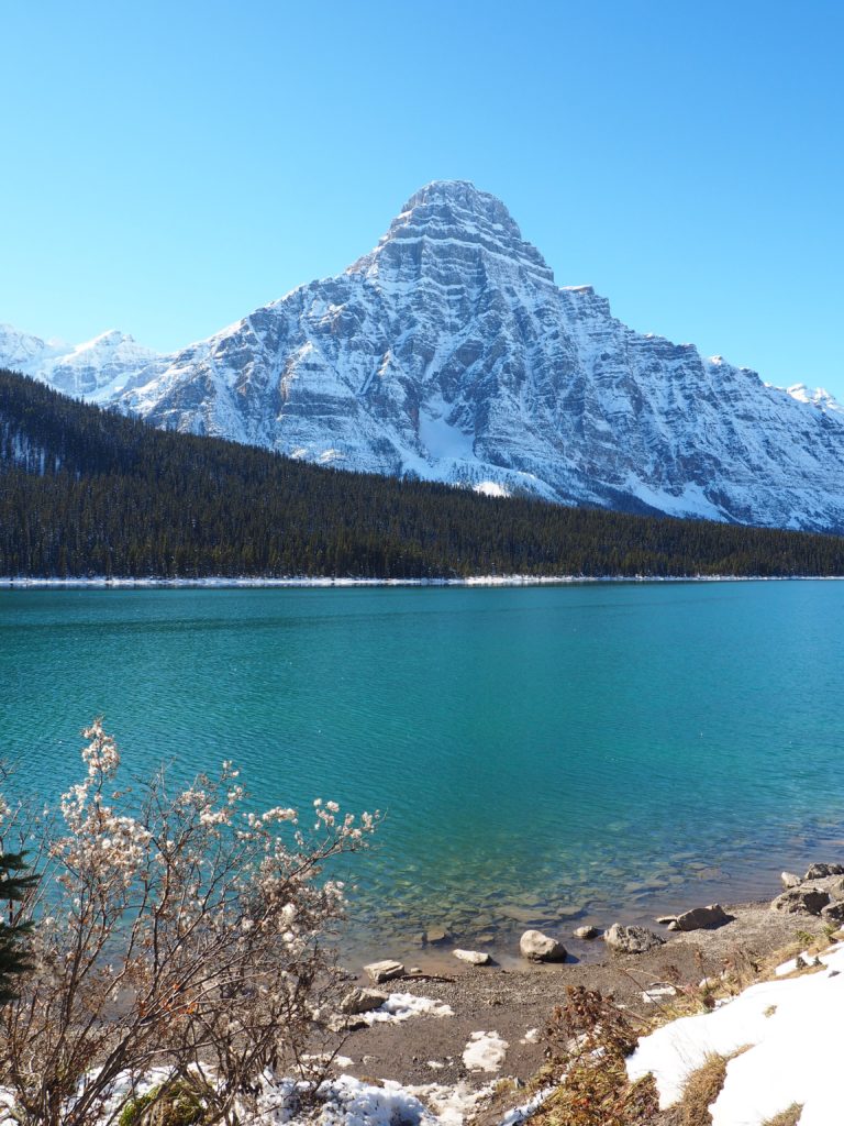
Waterfowl Lakes – 174 km / 108 miles south from Jasper or 115 km / 72 miles north of Banff
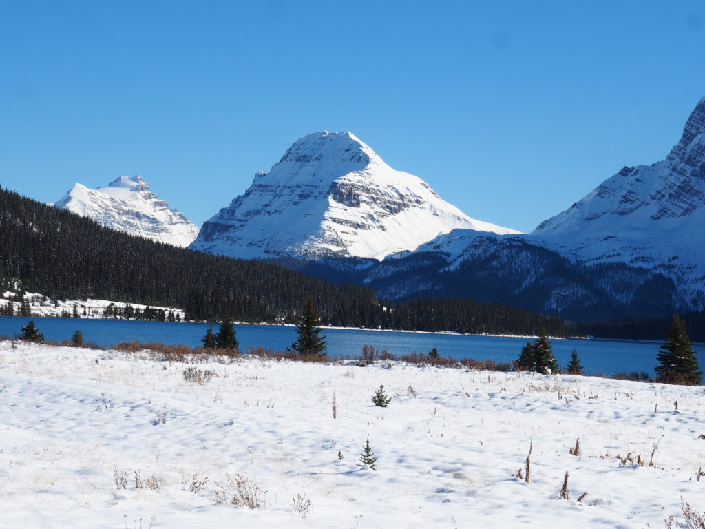
Waterfowl Lakes is very scenic lake, in my opinion, right along the road. Worth a little break. And there’s a short trail in here (1.5 km) in case you’d like to stretch your legs in between.
Bow Summit / Peyto Lake – 100 km / 62 miles north of Banff
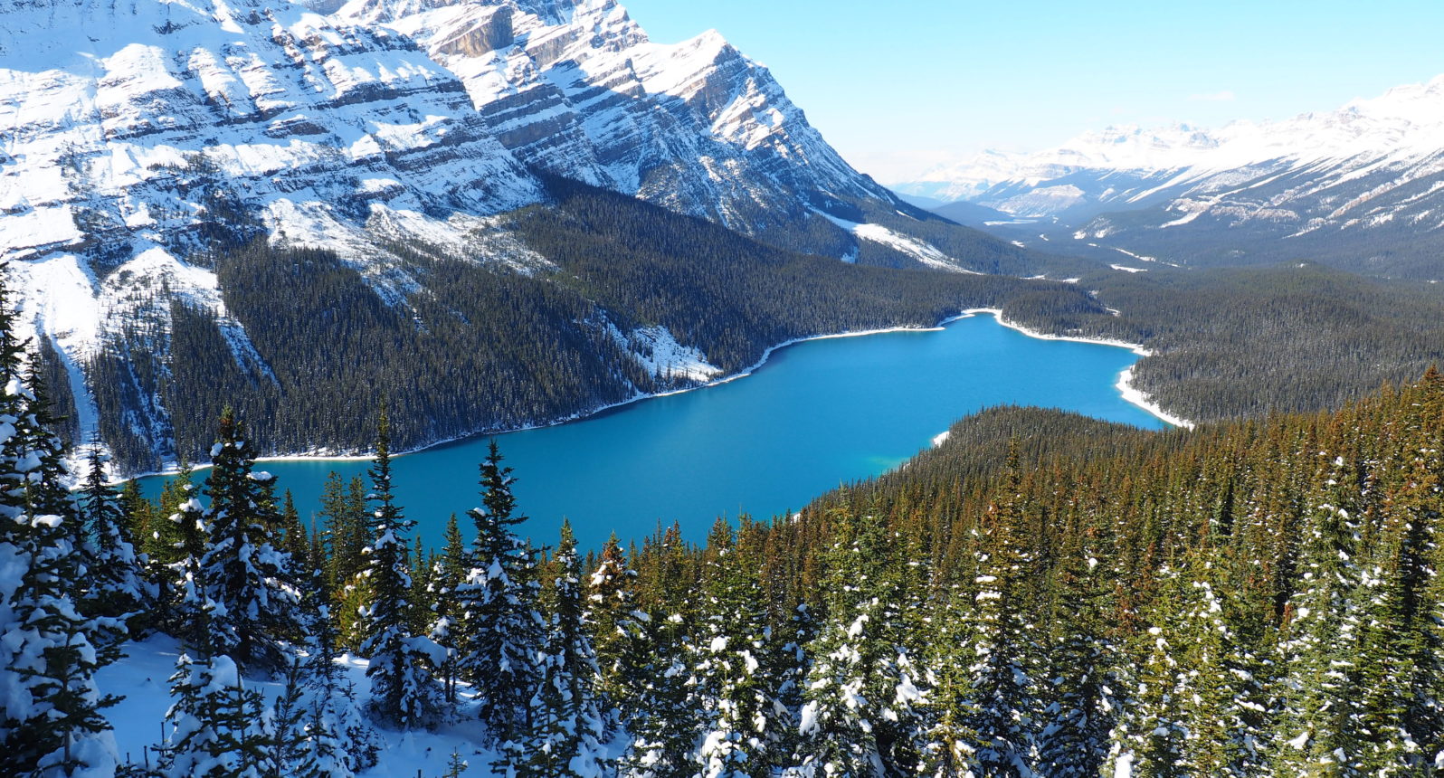
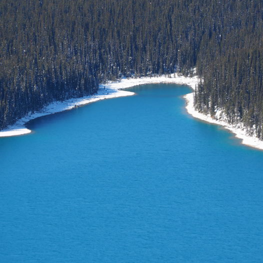
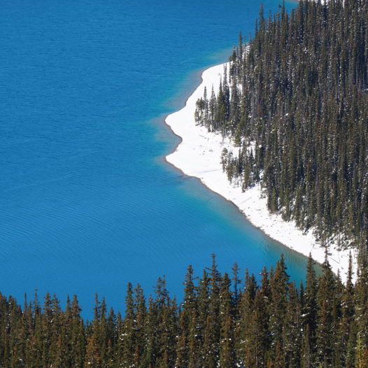
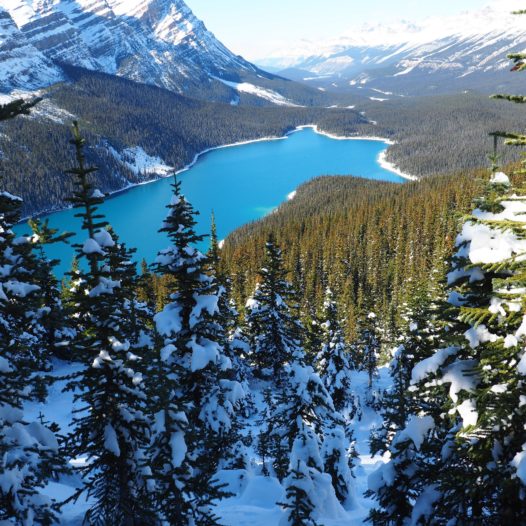
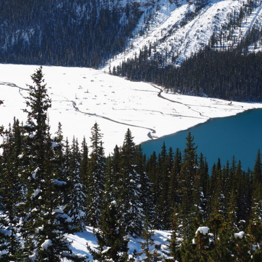
Perhaps the bluest lake of them all… and if there’s only one stop you can make I’d say; visit that lake! A look at the pictures will be self-explanatory; what a very blue Canadian winter I encountered over there!
From the parking lot it’s a small hike up to the biggest viewing platform on the lake. From here you have the view which you can see in the main picture of this article.↑
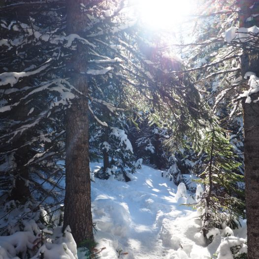
However, there’s also another spot with a magnificent view that you shouldn’t miss out on. Follow the little trail to the left that sweeps around the southern side of the lake. As the trail was totally covered in a blank sheet it took me a little while to get there dashing through the snow, but the views were so worth it. Plus I encountered few other couple around over there.
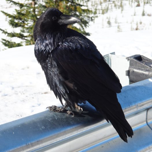
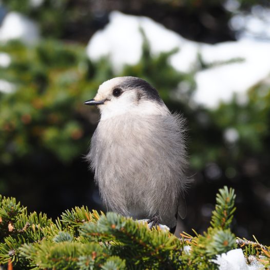
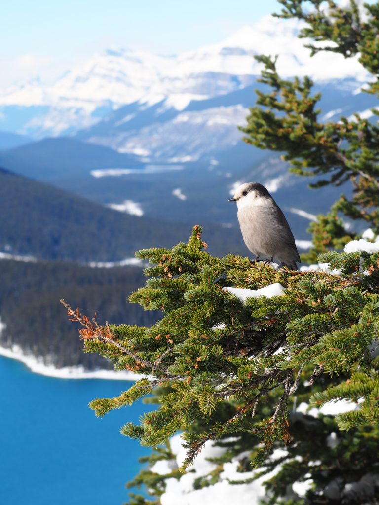
Fluffy bird alert! Right in front of Peyto Lake 
Hector Lake – 78 km / 48 miles north of Banff
This small glacial lake is named after James Hector – so I’ve learned -, one of the scientific explorers who researched a big chunk of western Canada.
Hector Lake is usually skipped by people rushing to either Peyto Lake and Lake Louise and therefore a great alternative for a little hike or rest in the area. If you want to do the trail, it’s a 5 km loop around the glacial waters.
Lake Louise – 57 km / 35 miles north of Banff
Lake Louise was one of the few places in the Canadian rockies that I had heard of – I mean before I travelled to Canada. The gorgeous alpine setting and those very blue waters of the lake make for iconic photos. But the lake unfortunately wasn’t as I expected it to be. It was just so, so crowded!!
At first I was afraid (I was petrified) that I’d wasted my time going to Lake Louise. Especially after visiting Peyto Lake, which was also pretty impressive and way less crowded at the time of my visit.
Nevertheless I quickly discovered that there’s actually life beyond this extremely touristy zone. As most tourists only want to take a quick selfie with the lake, way fewer people are in for activities. As heaps of snow had fallen from the sky, most of the trails were closed during my visit. But the trail to Lake Agnes was still open!
The trail took something like 1,5 hour (all of it going up), but as all paths were frozen, the trails were just sheer ice. But just look at the views.↓ Those bruises were worth it.
Here’s where to find my favourite stops along the Icefields Parksway!
